|
Windom, MN May 28, 2020 – On February 20th, the Utility Commission at City of Windom unanimously approved a proposal from mPower Innovations to provide a powerful enterprise GIS solution to track their electric, water, and wastewater data on one map. This system will help the City of Windom support its goal of constantly working to improve and provide reliable service to their residents.
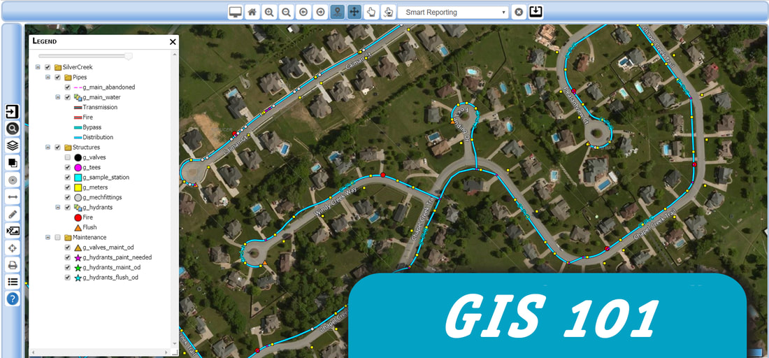
The City of Windom will utilize mPower’s Integrator software, a powerful web-based GIS asset management and system integration application that will enable the City of Windom to view and update all of their utility assets and access critical information from one browser-based system—eliminating the tedious process of searching for information in multiple sources and maps. Moving to a GIS-based asset management system will dramatically improve communication and response time to planned and unplanned service interruptions and maintenance. “After watching a software demonstration at an MMUA (Minnesota Municipal Utilities Association) conference, I could see their software provided the control and access that we were looking for that our existing software was lacking.” said Jason Sykora, Electric Superintendent. Greg Calcari, the Founder of mPower Innovations added, “Partnering with mPower is going to greatly enhance the maps and data of the City of Windom’s multiple utility departments and give them the ability to take control of their own data without relying on a third-party to update their maps and data.” The City of Windom is the latest in a growing list of Minnesota municipal customers of mPower. Despite initial delays with the Covd-19 pandemic, the city completed the onboarding process in March and now has a fully deployed GIS solution.
0 Comments
Iron Mountain, MI and Wakefield, MI December 26, 2019 -- Last month the City of Wakefield unanimously approved a proposal from mPower Innovations to provide a powerful enterprise GIS solution to help digitize their electric and water system assets and maintenance processes. This system will help the City of Wakefield support its goal of constantly working to improve and provide reliable service to their residents.
The City of Wakefield will utilize mPower’s Integrator software, a powerful web-based GIS asset management and system integration application that will enable the City of Wakefield to view and update all of their utility assets and access critical information from one browser-based system—eliminating the tedious process of searching for information in multiple sources and maps. Moving to a GIS-based asset management system will dramatically improve communication and response time to planned and unplanned service interruptions and maintenance. “With mPower, the City of Wakefield will leap into the 21st Century by deploying powerful technology that will provide City Staff with quick access to information, dynamic reports, and the ability to track an accurate inventory of City assets. In addition, residents will be able to view and report power outages and submit work orders from the comforts of their mobile devices. The City of Wakefield is excited to deploy this software in the coming months,” said Robert Brown Jr, City Manager of Wakefield. Jason Brown, President and CEO of mPower Innovations added, “Partnering with mPower is a positive signal that the City of Wakefield is embracing new technology and committed to the residents and customers they serve. Building a solid GIS is critical to the maintaining an efficient, safe, and reliable utility.” The City of Wakefield is one of mPower’s many Michigan municipal customers. The city has completed the onboarding process and is expected to have a fully functional GIS solution by the end of the year. 5 Things You NEED to Know Before Choosing a GIS Solution.GIS has become something of a buzzword these days, but that doesn’t mean that it isn’t a critical part of a healthy organization’s toolkit to manage assets, track maintenance, and provide access to maps and data to people who need it.
If you are new to GIS or aren’t sure where to start, choosing a GIS professional to work with is a smart first choice. There are a lot of options to choose from when it comes to choosing a GIS solution and a GIS professional can help you learn about the pros and cons of each one. When choosing a GIS solution, consider the following 5 tips to get you started in the right direction.
|
About usmPower is a full-service, one-stop-shop for utilities and organizations at any stage of GIS and Smart Grid integration. Learn more about our company here. Categories
All
|


 RSS Feed
